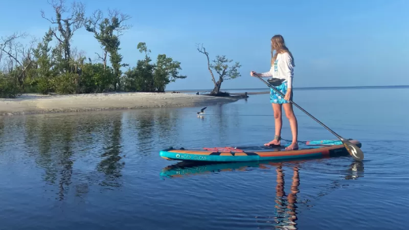
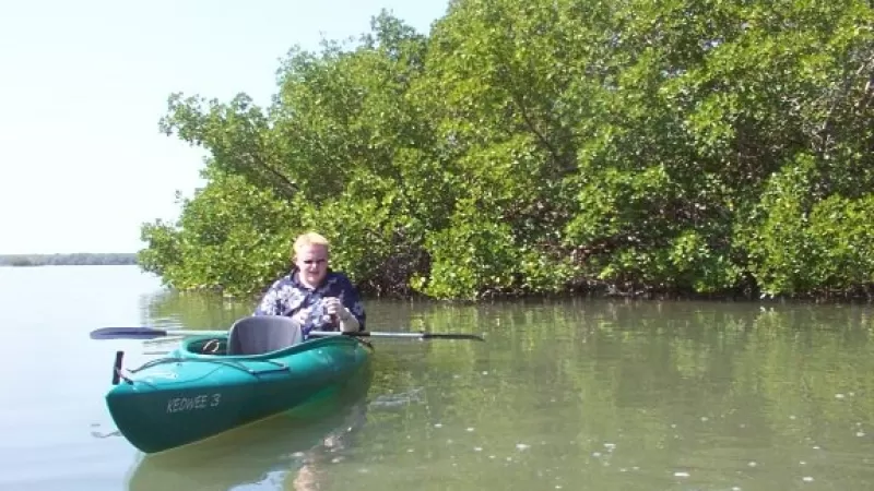
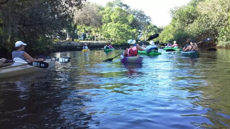
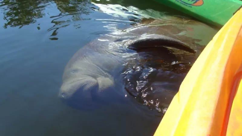
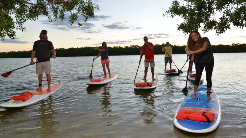
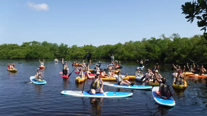
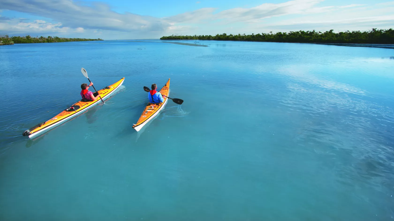
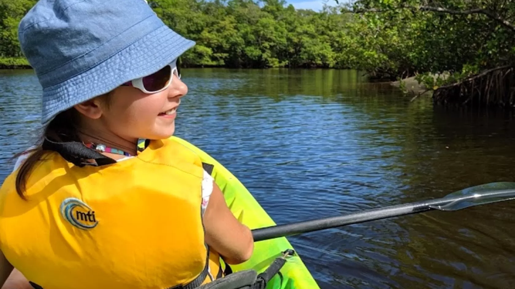
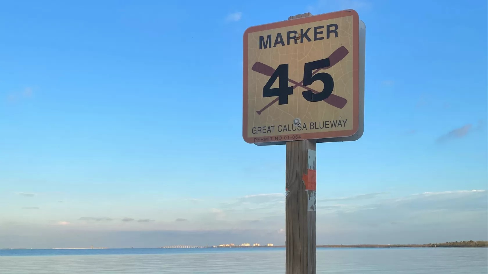
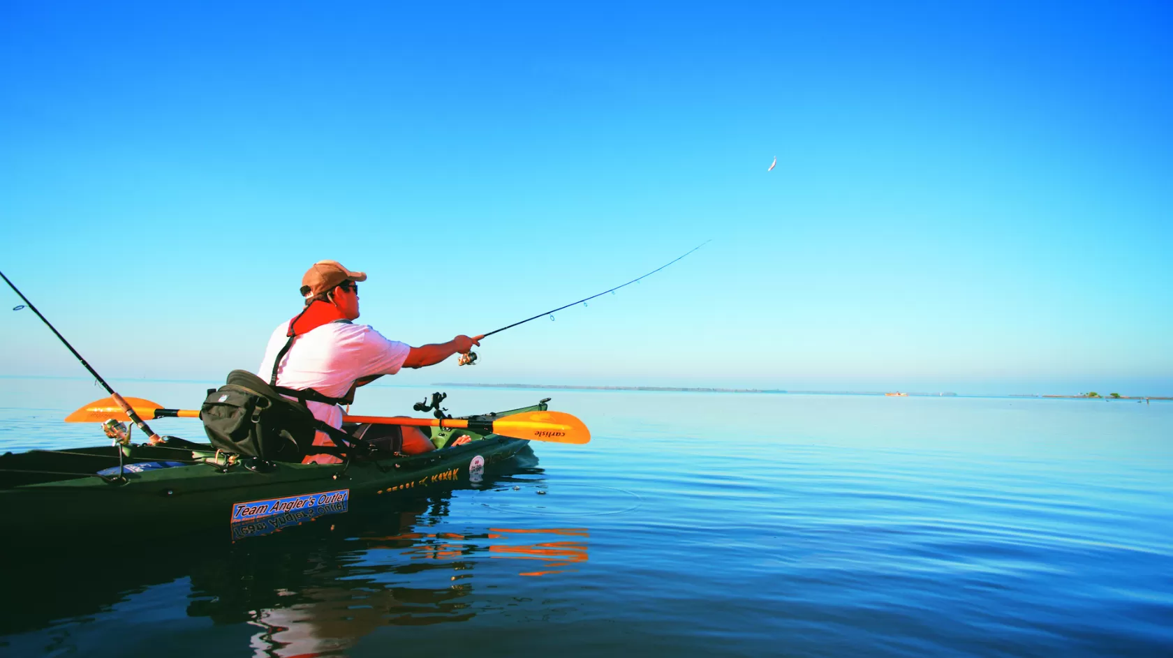
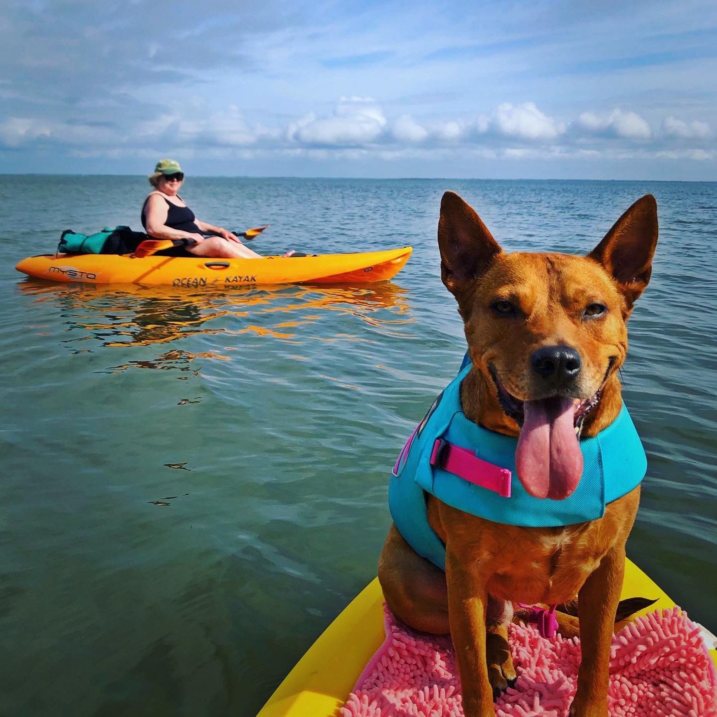
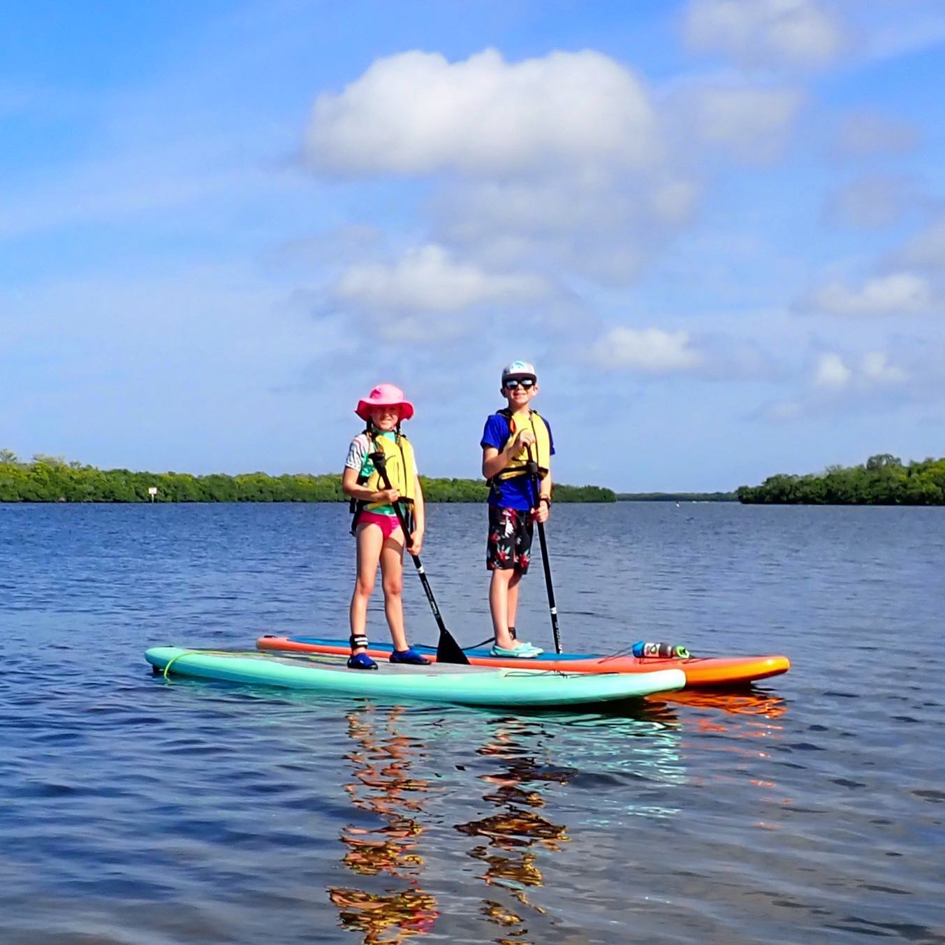
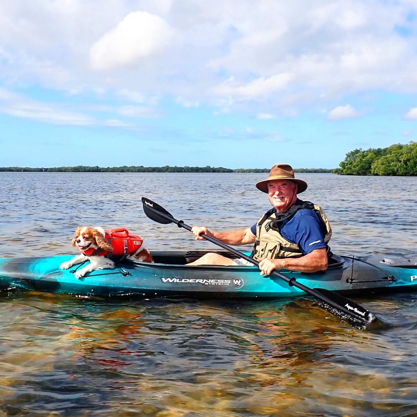
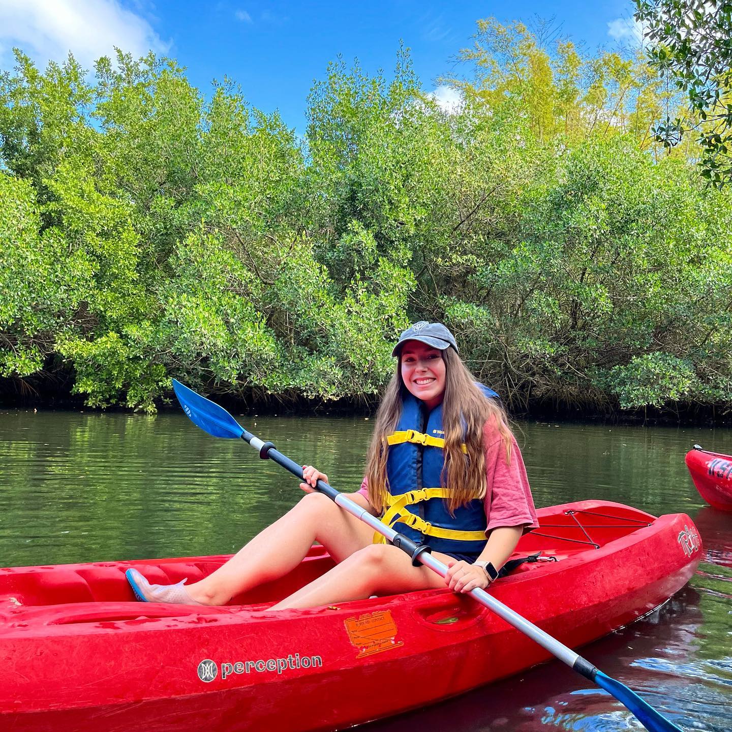
EN
The Great Calusa Blueway

Calusa Blueway

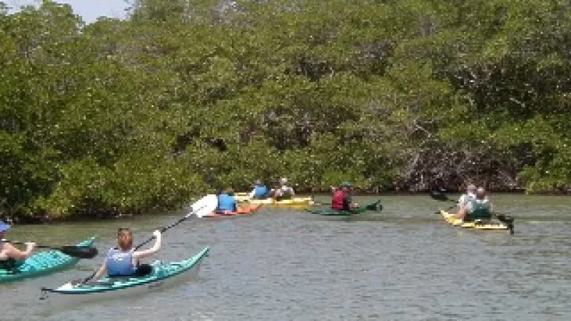
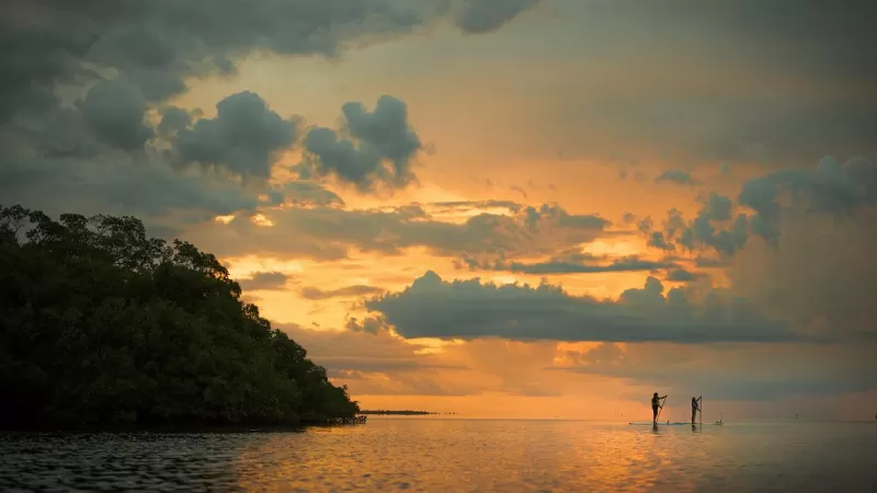
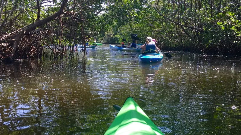
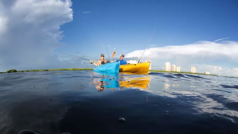
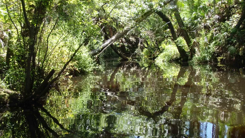
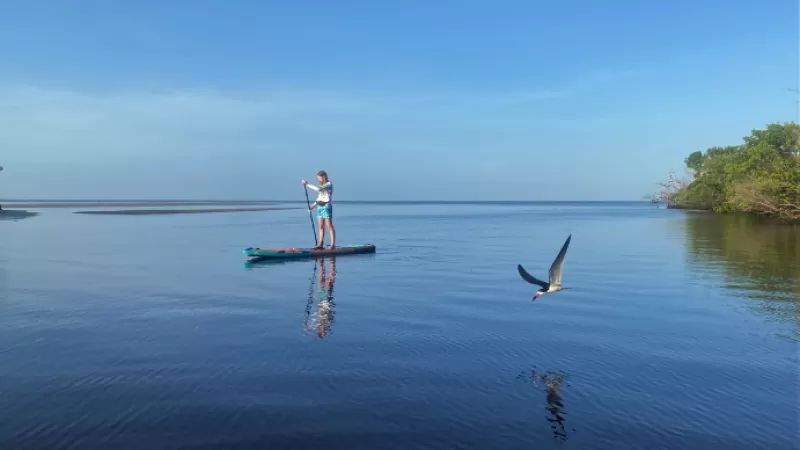
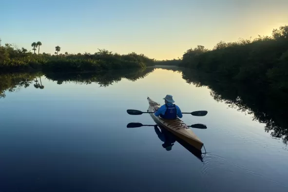
The Great Calusa Blueway Paddling Trail stretches nearly 200 miles in the pristine coastal waters and inland tributaries in the Fort Myers area. It has been developed by Lee County Parks & Recreation and funded with tourist development tax dollars specifically dedicated to beach and shoreline enhancement projects.

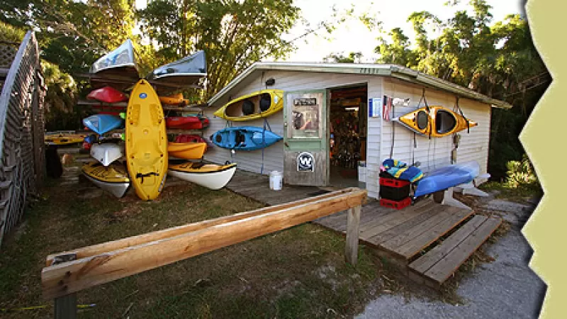
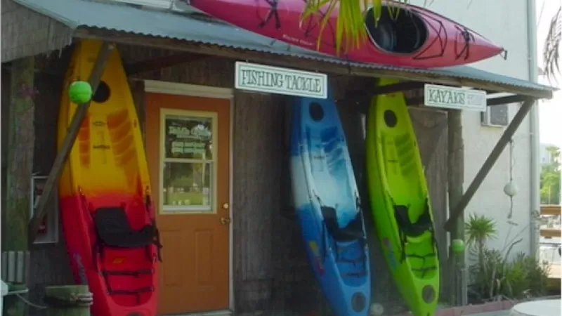
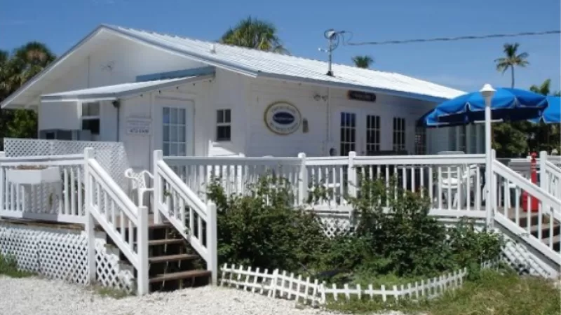
Start planning your adventure by exploring stops and outfitters on the map below. Or see the listing of outfitters here. Also, join the fun by following us on Facebook.

Neighborhood:
Blueway

Download Trail Maps with GPS Coordinates and App for iPhone

Phase 1 Trail Map: Estero Bay
Download PDF
Phase 2 Trail Map: Pine Island and Matlacha Pass
Download PDF
Phase 3 Trail Map: Caloosahatchee River and its Tributaries
Download PDF

Download Great Calusa Blueway App for iPhone

Explore the Blueway

The state's first aquatic preserve

A subtropical playground

The newest leg of the Blueway

The possibilities are wide open

Plenty to explore for newbies

Highlights you don't want to miss

Choose from waterside campgrounds to inns, resorts and more

A guide to what you'll see along the Blueway

Manatees, dolphins, mangroves and more

Blueway FAQs, Tips and Resources

Paddling the Blueway

FAQs

Explore frequently asked questions. 

Kids love paddling along the Blueway

Paddling with Kids

Kids pick up the skills and excitement as if it’s second nature.

Explore the Blueway with helpful tide charts

Tide Charts

See the Southwest Florida tide charts.

kayak fishing along the Blueway

Fishing Resources

Info on licenses, permits and more. 

Blueway Stories

Follow the adventures of a group paddling through Pine Island Sound and Estero Bay.

Follow Terry Brennen as he spends a day on the Great Calusa Blueway.

My first adventure on the Great Calusa Blueway was like dipping my paddle into kayak heaven.

Share Your Paddling Adventures

Share your favorite photos paddling around Fort Myers on social media using #MyFortMyers.